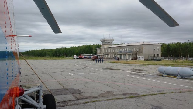
Zeya is a regional airport located 12 km southwest of the city of Zeya, on a plateau bounded by the Zeya River in the east, the Gulik River valley in the north, and the Mokhchi River in the south. The airport is a hub for landing sites Gorny, Bomnak, Khvoyny, Beregovoy. From the airport there are flights to the cities of Blagoveshchensk, to the settlements of Beregovoy, Khvoyny, Gorny, Bomnak, Oktyabrsky.
In Zeya airport area boundaries altitudes are calculated in feets by QNH
Transition altitude: 9000 feets
Эшелон перехода:
FL100 when QNH ≥ 1013 HPa
FL110 when 1013 HPa > QNH ≥ 977 HPa
FL120 when QNH < 977 HPa
Особенности размещения ВС на перроне:
There is only one apron with 8 stands (Stand 1-8)
ATC service provided by procedural tower from ground to FL130.
| RWY | MAG BRG | Dimensions(m) | Landing system |
|---|---|---|---|
| 03/21 | 030° | 1930x35 | NDB / 2NDB |
| 210° | NDB / 2NDB |
| Position | Designator | Callsign | Frequency |
|---|---|---|---|
| FSS * | RU-ERC_FSS | Eastern Russia Control | 135.550 |
| Control | UHHH_1_CTR | Khabarovsk-Control | 126.600 |
| Control | UHHH_CTR | Khabarovsk-Control | 124.500 |
| Tower * | UHBE_TWR | Zeya-Tower | 132.000 |
![]()
2024 © VATRUS division
Русская версия
VATSIM –
Code of Conduct –
Устав VATRUS –
Privacy Policy