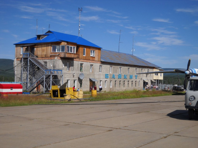
Baykit is the airport of the village of Baykit, located along the Podkamennaya Tunguska River at a distance of 250 meters from it. The Baikit airfield is capable of receiving AN-2, AN-3, AN-24, AN-26, AN-32, AN-74, Yak-40 aircraft, as well as helicopters of all types. Lighting equipment OMI "Firefly". The main task is passenger and cargo flights with the city of Krasnoyarsk.
The aircraft is landed from the RWY 25, the aircraft takes off from the RWY 07.
Stands 3 and 4 are used for parking light and ultralight aircraft.
| RWY | MAG BRG | Dimensions(m) | Landing system |
|---|---|---|---|
| 07/25 | 065° | 1605x28 | NDB / 2NDB |
| 245° | NDB / 2NDB |
| Position | Designator | Callsign | Frequency |
|---|---|---|---|
| FSS * | RU-ESC_FSS | Siberia Control | 135.225 |
| Control | UNKL_CTR | Krasnoyarsk-Control | 133.300 |
![]()
2024 © VATRUS division
Русская версия
VATSIM –
Code of Conduct –
Устав VATRUS –
Privacy Policy